OGC CSW Specification
The Open Geospatial Consortium (OGC) OpenGIS Catalog Service Implementation Specification,
currently at version 2.0.2, is a standard for discovering and retrieving spatial data
and metadata. Catalog Services for the Web (CSW) is a profile/part of the Catalog Service
Implementation Specificaton that allows for publishing and searching of metadata.
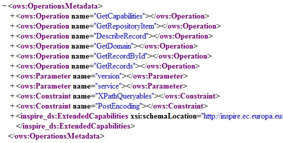
Operations
CSW defines several possible operations to discover and retrieve metadata, and
groups these operations into 3 “classes”:
- Service Class
- GetCapabilities (mandatory) - allow clients to retrieve information describing the
service instance
- Discovery Class
- DescribeRecord (mandatory) - allows a client to discover elements of the
information model supported by the target catalog service
- GetRecords (mandatory) - get metadata records
- GetRecordById (optional) - get metadata records by ID
- GetDomain (optional) - obtain runtime information about the range of values
of a metadata record element or request parameter.
- Management Class
- Harvest (optional) - references the data to be inserted or updated in the catalog
- Transaction (optional) - defines an interface for creating, modifying and
deleting catalog records.